Flood
Division of Emergency Management

Flooding
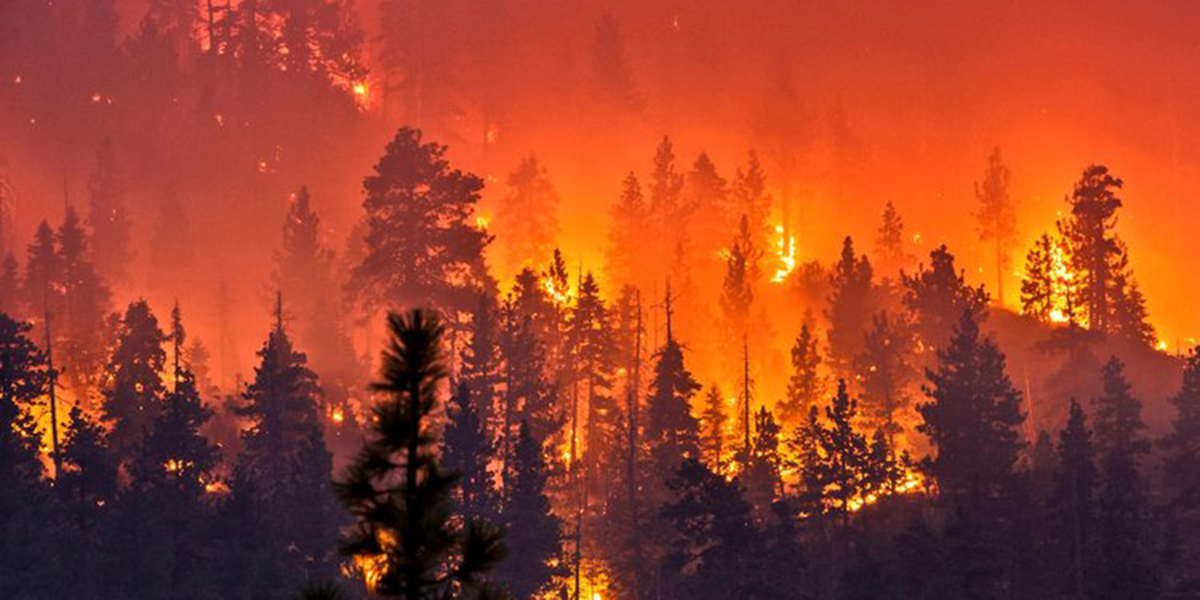
Flooding is the most common natural hazard in Utah.
It's also the most expensive disaster year after year.
Flooding happens when water covers land that is normally dry—from overflowing rivers, heavy rain, snowmelt, mudflows, or runoff. In Utah, floods take many forms. They can happen suddenly or develop slowly. Flash floods can hit mountain streams or slot canyons miles from any rainstorm. Flooding can even happen far from any river or stream.
Because floods cause more damage than any other natural hazard in the state, flood preparedness is essential for protecting lives and property.
Geography and surfaces affect flooding
Utah's steep canyons and dry plateaus create rapid runoff during heavy rain. When rain falls on hard surfaces like roads, parking lots, and rooftops, water can't soak into the ground. Instead, it runs off quickly, which can overwhelm drainage systems and cause flash floods.
Understanding flood risk:
- Paved surfaces and buildings reduce the amount of ground available to absorb water
- Construction activity can temporarily affect water flow patterns
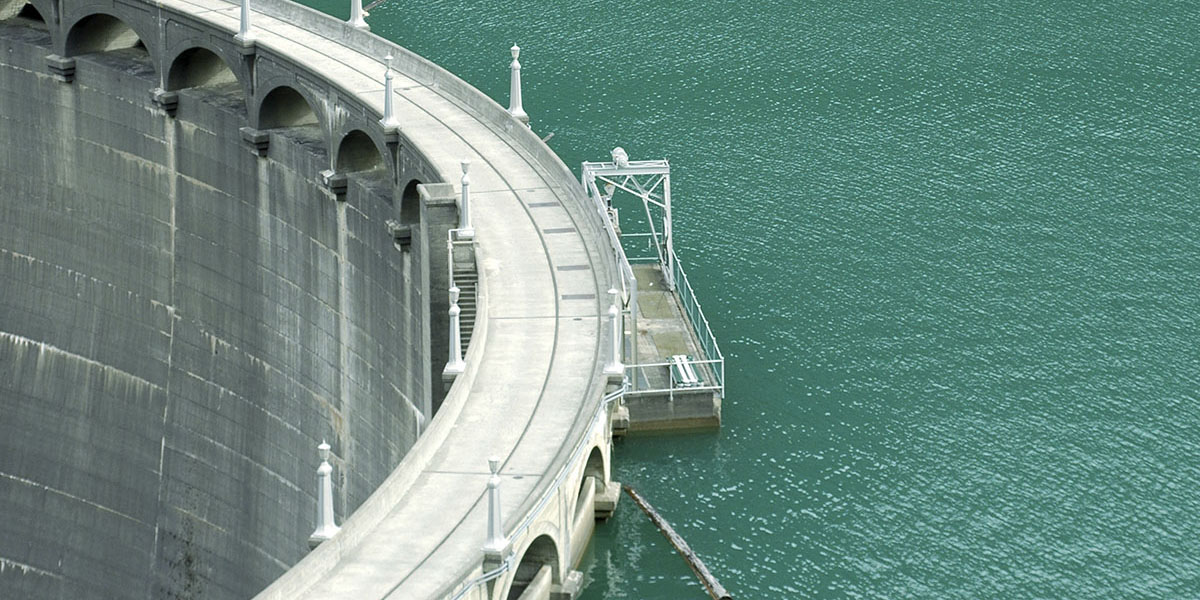
- Dams and levees help manage flooding AND require proper design and maintenance to work effectively
Where flooding happens most in Utah:
Kane and Washington counties experience flooding most frequently, followed by Garfield, Wayne, and Grand counties.
Flood management and preparedness
Local governments and agencies work to reduce flood risk through building codes, floodplain regulations, and stormwater management. Counties experiencing population growth participate in the National Flood Insurance Program (NFIP), which requires following floodplain management standards.
The challenge of flood mapping:
About 40% of flood insurance claims occur outside of mapped flood zones. Many rural areas have outdated flood maps or no maps at all, making it harder to identify flood-prone areas. Improved flood mapping helps communities and property owners better understand their flood risk and prepare accordingly.
Mitigation Case Study: 2005 Santa Clara River Flooding

In January 2005 a rain-on-snow event resulting from a stalled storm system brought abundant precipitation throughout the state of Utah causing severe flooding along the Santa Clara River in St. George that led to extensive damage to homes in the area estimated at $300 million dollars.
In the aftermath of this flooding event, St. George began taking steps to become one of Utah’s 10 cities that have adopted the Community Rating System (CRS,) a program that encourages community floodplain management activities that exceed the minimum National Flood Insurance Policy (NFIP) standards. Depending upon the level of participation, flood insurance premium rates for policyholders living in a CRS community can be reduced up to 45%. Besides the benefit of reduced insurance rates, CRS floodplain management activities enhance public safety, reduce damages to property and public infrastructure, avoid economic disruption and losses, reduce human suffering, and protect the environment. Technical assistance on designing and implementing some activities is also available at no charge.
For more resources and information on flooding in Utah, please visit floodhazards.utah.gov
Learn More About Our Partner Resources